
Severe thunderstorm warnings have been issued in parts of Texas and Louisiana on Memorial Day, with the possibility of thunderstorms, hail and tornadoes.
The National Weather Service (NWS) warned residents in affected regions to remain alert to possible tornadoes, and to expect damage to roofs, sidings and trees.
Why It Matters
Memorial Day sees people across the U.S. attend events, parades, and memorials for soldiers who died while serving in the military. For many, it also marks the beginning of summer.
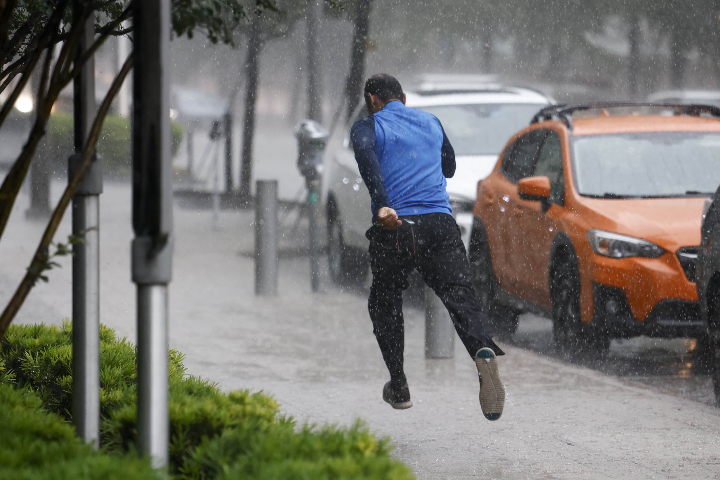
The heavy thunderstorms threaten to disrupt with these events, with the NWS warning individuals in affected regions to remain indoors.
Elías Valverde II/The Dallas Morning News/AP
What To Know
The NWS issued severe thunderstorm warnings for parts of north-east Texas on Monday morning, including the counties of Marion, Harrison, Smith, Panola, Rusk, Nacogdoches, Shelby, and Cherokee.
In Louisiana, the warnings were issued in Bossier, Caddo and DeSoto parishes, including the city of Shreveport.
The NWS warned that winds gusts of up to 60 miles per hour are expected, along with quarter-size hail and possible tornadoes.
“Remain alert for a possible tornado! Tornadoes can develop quickly from severe thunderstorms. If you spot a tornado go at once into the basement or small central room in a sturdy structure,” it said. “For your protection move to an interior room on the lowest floor of a building.”
The NWS also said that torrential rain will occur with these storms and may lead to flash flooding.
“Turn around, don’t drown when encountering flooded roads. Most flood deaths occur in vehicles,” the NWS said.
What People Are Saying
The NWS said in a statement: “Severe thunderstorms may produce large hail, severe wind gusts, and a few tornadoes. Excessive rainfall is also likely and may result in scattered to numerous instances of flash flooding. For your protection, get inside a sturdy structure and stay away from windows.”
The NWS office at Fort Worth, Texas, wrote on X, formerly Twitter, on Monday: “Periods of heavy rain are expected to continue through tonight. Some locations will pick up more than 3″. The greatest flooding threat will be from noon Monday until after midnight. Allow extra travel time and remember, Turn Around Don’t Drown!”
The NWS office at Shreveport, Louisiana, wrote on X on Monday: “Heavy rainfall across east Texas is pushing east, entering into north-west Louisiana and south-west Arkansas shortly. Already 2.18″ of rain at Shreveport Regional Airport. Likely another 1-2″ possible in the metro as this line pushes through.”
What Happens Next
The current severe thunderstorm warnings are set to remain in force until 89 a.m. ET. The NWS issues regular forecast updates on its website.