
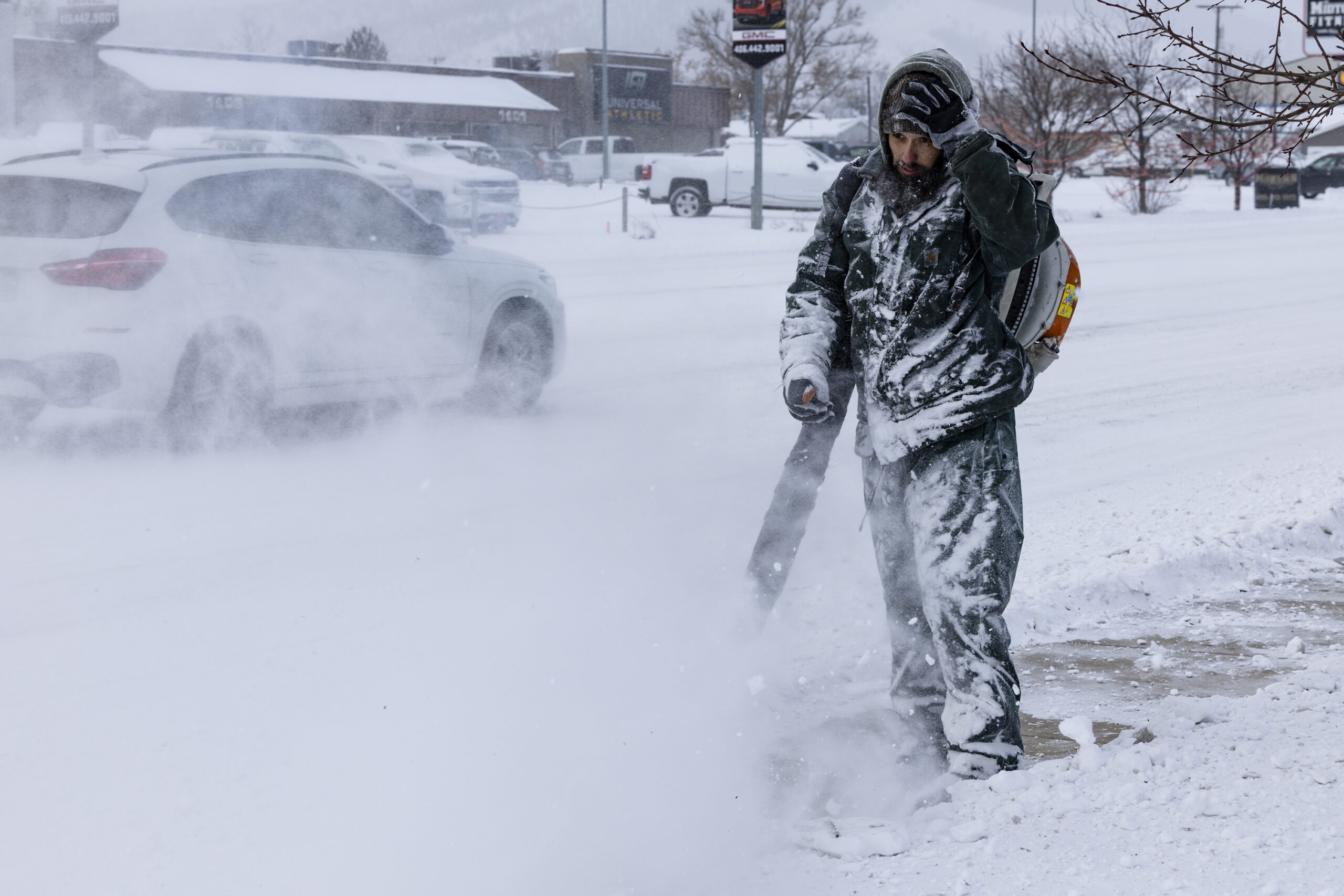
A rare summer “winter” storm is forecast to hit parts of Montana this weekend, with up to two feet of snow set to fall in parts.
The National Weather Service (NWS) has issued another winter storm watch for parts of north-west Montana from Saturday afternoon to Sunday morning.
Up to 24 inches feet of snow are now expected to fall on elevations above 6,000 feet, and up to 6 inches below. The NWS had previously said the storm was expected to produce up to 12 inches of snowfall above 6,000 feet and as much as 4 inches in valley areas.
Thom Bridge/Independent Record/AP
Why It Matters
The NWS has warned there could be considerable disruptions to normal activities, including dangerous or impossible travel conditions in areas. “Avoid travel in the impacted areas if possible,” it said.
It added that there could be widespread closures and disruptions to infrastructure, and that power outages could occur from falling trees.
What To Know
Between 12 and 24 inches of heavy wet snow are forecast to fall on the East Glacier Park region above 6,000 feet, and up to 6 inches below that altitude. Wind gusts of up to 45 miles per hour are also expected.
Meanwhile, up to a foot of snow is forecast to fall on elevations above 6,000 feet in other areas of the Glacier National Park, including Going-to-the-Sun Road, Logan Pass, Marias Pass, Polebridge, along with the Flathead National Forest.
“Hazardous travel conditions, especially on Going-to-the-Sun Road, Looking Glass Road, and U.S. Highway 89 over the Hudson Bay Divide,” the NWS said.
“Dangerous backcountry conditions, especially for those hiking in areas of exposure due to icy trail conditions and or those camping in the backcountry.
“The combination of heavy, wet snow accumulating on trees and power lines along with the gusty winds may lead to power outages and downed trees.”
What People Are Saying
The NWS forecast office in Missoula wrote on X, formerly Twitter, on Wednesday: “High elevation snow is anticipated in Glacier National Park Saturday evening into Sunday. If you plan to recreate, be prepared for difficult conditions in the backcountry.”
It added: “Difficult backcountry recreation due to low visibility, snow-covered ground. Beware: heightened risk of hypothermia. Heavy rain in lower elevations may cause rock / debris slides.”
What Happens Next
Travelers planning visits to Glacier National Park this weekend are advised to check weather and road updates frequently and consider alternative plans.
Hypothermia risks and infrastructure disruptions are possible if snow accumulates more rapidly than expected.
The NWS will issue regular forecast updates on its website over the weekend.