
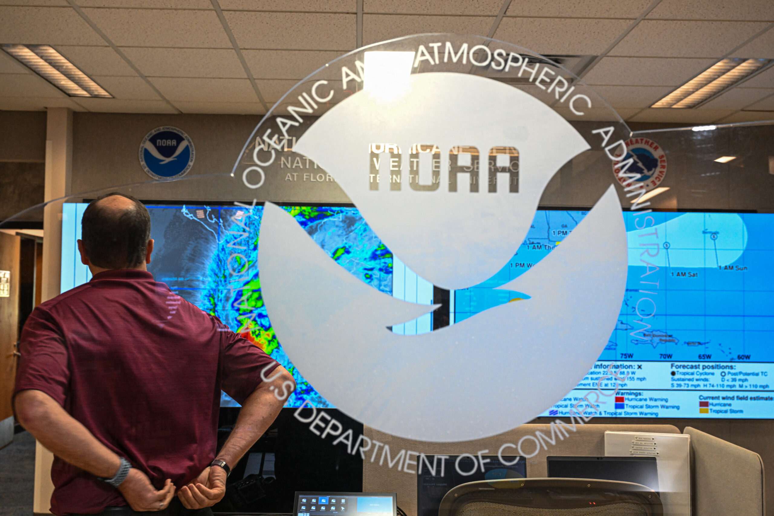
The National Oceanic and Atmospheric Administration (NOAA) has announced it is launching field tests this summer for an advanced storm surge warning system designed to save lives during hurricanes and tropical storms.
The new technology, called Hazard Services, will provide geographically precise alerts that could dramatically reduce unnecessary evacuations while ensuring those in genuine danger receive timely warnings.
Newsweek contacted Theo Stein at NOAA Communication via email on Saturday for comment.
Why It Matters
Storm surge, not wind, is the deadliest aspect of hurricanes and tropical storms. Over the past 50 years, nearly half of all tropical cyclone deaths in the United States resulted from storm surge flooding. The entire East and Gulf coasts remain vulnerable to this threat, which can push water inland along rivers and canals far from the immediate coastline, according to the NOAA.
Current storm surge warnings use designated alerting zones that may unnecessarily alarm communities outside the actual risk area, potentially leading to evacuation fatigue and reduced compliance with future warnings.
The new system aims to solve this critical communication challenge by providing more targeted, accurate alerts.
What To Know
Developed by NOAA’s Global Systems Laboratory (GSL), the system represents a significant upgrade from current storm surge alerts, which often cover broad zones that extend well beyond areas actually at risk. The new tool will allow forecasters to issue warnings aligned with specific evacuation boundaries and wireless emergency alert zones.
Storm surge occurs when strong onshore winds from hurricanes or tropical storms push water ashore above normal astronomical tides. Unlike typical weather events, storm surge can affect areas well inland through rivers and waterways, making precise geographic targeting essential for effective warnings.
The current system issues storm surge watches 48 hours before expected inundation and warnings 36 hours in advance. However, these alerts often cover broad geographic zones, potentially over-warning areas not actually threatened by life-threatening surge.
Hazard Services has been in development since 2018 and already handles over 50 different types of weather hazards, including winter weather, extreme heat, dense fog, high winds, and volcanic ashfall. The storm surge component represents the latest addition to this comprehensive warning platform.
What People Are Saying
Nate Hardin, GSL Hazard Services Project Lead, in a statement: “It’s grown from a concept to a critical piece of software that’s used daily across our country to fulfill NOAA’s mission of saving lives, protecting property, and supporting our national economy.”
The NOAA described the new system alert in a statement: “Hazard Services also introduces the capability to issue storm surge warnings that can be closely aligned with evacuation and wireless emergency alerting zone boundaries, supporting decision making for state and local emergency management officials. This is another way that forecasters can ensure that those under a direct threat of storm surge receive the most accurate warnings possible, while those outside of the risk area are not unnecessarily alerted.”
CHANDAN KHANNA/AFP via Getty Images
What Happens Next?
With field testing beginning this summer, the system is expected to undergo rigorous evaluation during this year’s hurricane season. NOAA will monitor the system’s performance in real-world conditions, comparing its accuracy and effectiveness against traditional warning methods.
The technology will be gradually integrated into existing emergency management protocols, with training provided to local officials on interpreting and acting on the more precise warning data.