
A 115 mph ‘jet streak’ will intensify the risk of tornadoes and severe thunderstorms for millions of people across the South this weekend, a Newsweek map shows.
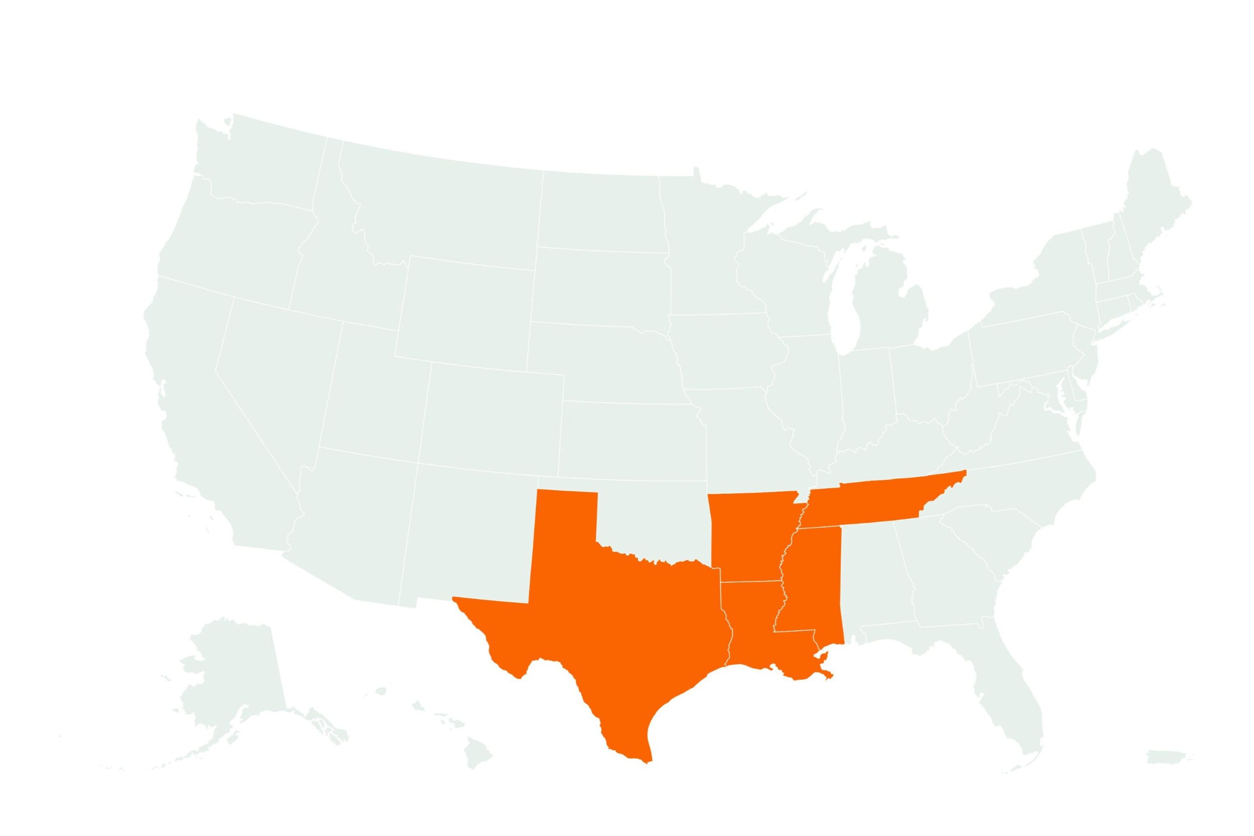
The powerful 115 mph upper-level jet stream winds will heighten storm conditions from eastern Texas to western Mississippi.
The National Weather Service (NWS) has issued an “Enhanced Risk of Severe Thunderstorms” for Saturday and Saturday night, with tornadoes expected “from the Sabine River Valley northeastward into the lower to mid Mississippi and Ohio Valleys.”
Why It Matters
A NOAA Storm Prediction Center outlook notes that “strong tornadoes, very large hail, and severe gusts above 70 mph will be possible in parts of the lower to mid Mississippi Valley.”
The NOAA’s forecast also explains that “the more intense supercells could produce strong tornadoes, with the greatest threat located from central Louisiana to southeast Arkansas.
“The storms could also produce hailstones greater than two inches in diameter,” it said.
What To Know
A large complex of thunderstorms, known as a mesoscale convective system (MCS), “will be located along a cold front from the Ark-La-Tex northeastward into the mid Mississippi Valley.”
The storms will gradually shift eastward into a 50 to 60 knot low-level jet extending from central Louisiana to eastern Arkansas, the Storm Prediction Center said.
As the entire system progresses eastward across the lower to mid Mississippi Valley throughout the morning and afternoon, widespread damaging wind gusts are likely along a line that is expected to become more organized as the day goes on, the forecast said. The stronger segments of this line could generate wind gusts exceeding 70 mph.
This severe threat is anticipated to persist from late afternoon into the early to mid-evening as the system advances into the central Gulf Coast states.
Sunday’s outlook from NOAA shifts the risk area east, with a “slight risk” of severe storms from eastern Louisiana to the Carolinas.
What Is a Jet Streak
A jet streak is a fast-moving core of winds within the broader jet stream. In Sunday’s forecast, a 90 to 100-knot (115 mph) jet streak across the Ohio Valley is expected to enhance storm formation. This kind of wind feature helps create vertical wind shear and lift, two ingredients that support severe thunderstorm development and tornadoes.
What People Are Saying
NWS Shreveport, Louisiana, said on X, Friday: “Severe thunderstorms are likely this afternoon through this evening, especially much of the Four State Region. Damaging winds, very large hail, and strong tornadoes (EF2+, 111 mph) will be possible with these storms.”
The NWS Storm Prediction Center said on X, Friday: “Several strong to intense tornadoes are possible late this afternoon and evening.”
What Happens Next
The Storm Prediction Center advises residents in at-risk zones to monitor updated forecasts and be prepared to take action should a warning be issued for their area.