
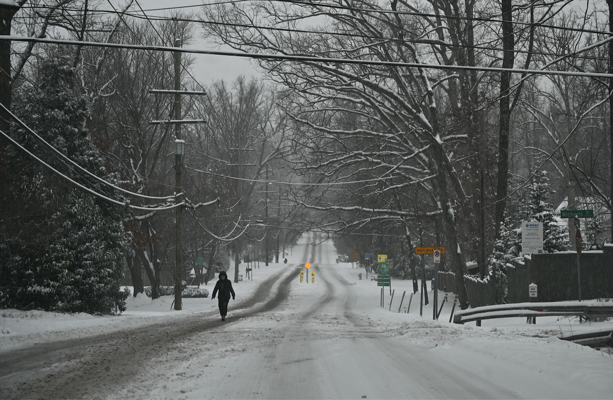
Parts of Ohio and Michigan could see up to 3 inches of snow this weekend as cold air descends into the United States.
National Weather Service (NWS) meteorologist Alexa Maines, based at the Cleveland, Ohio, office, told Newsweek that it’s still too early to determine exact amounts of snowfall. However, she said there is a “pretty good chance of accumulating snowfall across the snow belt region” early next week.
Why It Matters
A cold wave will bring winter-like conditions, including frigid temperatures and the chance of snowfall, across much of the Central and Eastern U.S. beginning this weekend. Snow will impact the north first before shifting eastward, with accumulating amounts reaching the Northeast by early next week.
Although snow isn’t expected to accumulate in many areas, up to 3 inches could fall in parts of Michigan. Several inches of snow are also expected in Ohio, though exact amounts and locations are still unclear.
What To Know
On Thursday, NWS Cleveland issued a forecast warning of the chance of snow early next week.
“A cold front brings rain Friday, again late Friday night into early Saturday, and then a strong low pressure system moves through Sunday. Off and on precipitation expected through the period, including some snow potential early next week from lake effect,” the forecast said.
Maines told Newsweek it can be tough to determine exact snowfall amounts until closer to the event. However, she said the greatest chance of snow will be in the snow belt region, which includes higher elevations in Northeast Ohio and Northwest Pennsylvania. The snow belt encompasses the area east of downtown Cleveland up through Erie, Pennsylvania.
“Those are the areas that typically get more snowfall during the lake-effect snow season,” she said. “We are pretty confident there’s at least going to be some accumulating snowfall. How much depends on where the snow bands set up.”
She added that there was potential for several inches of snow.
In Michigan, 3 inches of snow is expected between Traverse City and Ludington on Monday, Michigan media group MLive reported. Several inches of snow are also possible in southwest Michigan near Benton Harbor, St. Joseph, Niles, Dowagiac, and Cassopolis by Tuesday morning, the report said.
What People Are Saying
NWS Cleveland in a Thursday forecast: “For our area, a late rain/snow mix Sunday evening becomes all snow showers Sunday night into Monday and Monday night. This will be the time frame for the bulk of the snow which is likely going to accumulate in the preferred north northwesterly flow regions of NE OH/NW PA, and confined further east late Monday night into Tuesday when flow turns westerly.”
The forecast added: “For the first snow of the season, should have some impacts given the first snow to stick to the surfaces, although it could take a while for that to happen given the warm grounds temperatures. Will get into the specifics of who should get the most snow out of this as the event nears, and the exact wind directions can be pinned down, along with the duration through the period.”
What Happens Next
Maines urged people in the affected regions to monitor the forecast and prepare for snowfall, such as ensuring they have access to snow shovels. More accurate forecasts will be issued by local NWS offices as the event approaches.