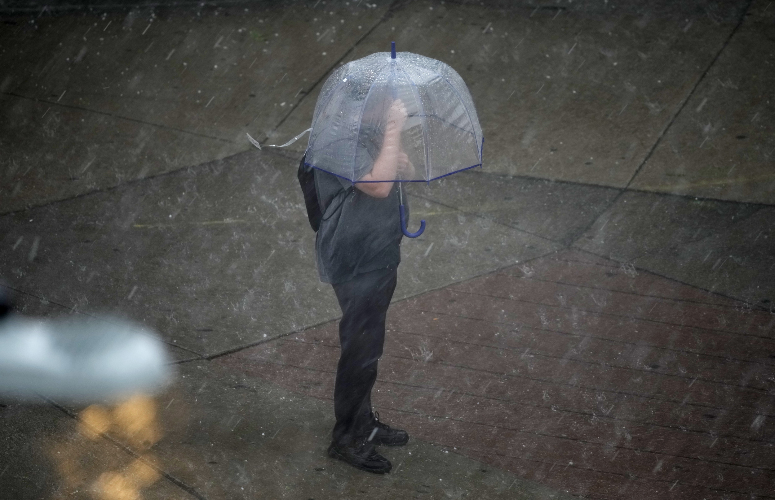
A powerful spring storm system is unleashing dangerous weather across the central United States, with golf-ball sized hail, damaging winds, and the risk of tornadoes threatening communities from Texas to the Ohio Valley.
Why It Matters
This multi-state severe weather outbreak poses a significant threat to lives and property across the South and lower Midwest. With the potential for strong tornadoes, damaging winds, and flash flooding, the situation demands heightened awareness as well as preparedness.
What To Know
Golf-ball sized hail is forecast in Texas, Arkansas, Louisiana, Mississippi, and Tennessee this weekend, according to the National Weather Service (NWS).
Strong tornadoes and winds of up to 70 miles per hour are also possible on Saturday.
It comes as severe thunderstorms are forecast to develop across the region this weekend.
Mississippi faces a particularly dangerous situation west of Interstate 55 where the NWS has issued an Enhanced Risk (Level 3 of 5). Forecasters warn that storms could bring large hail, damaging wind gusts of up to 70 mph, and the possibility of a strong tornado overnight.
In Tennessee, a similar Enhanced Risk is in place across much of the mid-south where tornadoes, damaging winds, flash flooding, and large hail are all possible through tonight.
Arkansas is also bracing for a full spectrum of severe weather, including flash flooding, very large hail, damaging winds, and the chance for tornadoes. The NWS is urging travelers to complete trips before noon in the state as flash flooding is expected to worsen with more rain.
Showers and thunderstorms are moving through north and central parts of Texas. While hail is a possibility with the strongest cells, the main concern is locally heavy rainfall. Conditions are expected to remain cloudy, cool, and breezy into the evening, with light rain potentially developing later in the west and northwest.
Meanwhile, supercells—powerful, rotating thunderstorms—are already forming along a slow-moving frontal boundary, particularly across northern Arkansas, southeast Missouri, and southern Illinois, according to the NWS.
Earlier this week, AccuWeather meteorologists warned of a 1-in-1,000-year flood posing threats to several states, including southeast Missouri, southern Indiana, Illinois, Kentucky, Tennessee, Arkansas and northwest Mississippi. An AccuWeather spokesperson told Newsweek that floods like this have a 0.1 percent chance of happening in any given year.
David Zalubowski/AP
What People Are Saying
National Weather Service Shreveport, Louisiana, wrote on X, formerly Twitter: “There continues to be a threat for severe thunderstorms today across much of the region which includes damaging thunderstorm wind gusts, large hail and tornadoes.”
NWS Fort Worth, Texas, wrote on X: “Showers and storms will move through North and Central TX this morning. Locally heavy rainfall will be the main threat. This activity will move to the east by late morning with cloudy, cool, and breezy conditions this afternoon. Some light showers may develop this evening.”
NWS Little Rock, Arkansas, wrote on X: “If you must travel today. A note to travel before NOON. After NOON, we will begin to experience more rounds of efficient rainfall producing cells. If you decide to travel, please take note that many locations are experiencing flash flooding. Turn Around, Don’t Drown!”
NWS Memphis, Tennessee, wrote on X: “Heavy rain and flooding impacts look to increase over the next several hours. Training of storms over the same area combined with intense rainfall rates will result lead to increased flash flood threat.”
NWS Jackson, Mississippi, wrote on X: “Severe thunderstorms are likely this afternoon into Sunday morning, especially west of I-55. Any severe thunderstorms that develop will be capable of producing damaging wind gusts, large hail, and tornadoes. A strong tornado is possible in the Enhanced (Level 3 of 5) Risk area.”
What Happens Next?
Residents across the region—especially in northeast Texas, southwest Arkansas, southeast Missouri, and southern Illinois—are urged to stay weather-aware overnight, ensure weather alerts are enabled, and have a plan in place in case a warning is issued.
