
Nine states across the U.S. have been issued with winter weather warnings by the National Weather Service (NWS), with some expected to see up to 18 inches of snowfall from Sunday through to Tuesday morning.
Why It Matters
With many regions experiencing their first significant snowfall of the winter, the NWS has warned residents in affected areas that travel is likely to be “very difficult,” and to take care during morning and evening commutes. They should “be prepared for slippery roads,” especially over bridges and overpasses, and allow for extra travel time to reach their destination.
What To Know
The NWS has warned the following nine states to expect winter weather conditions from Sunday through to Monday evening, and in some areas, Tuesday morning: Michigan, Wisconsin, North Carolina, Virginia, Tennessee, New York, Kentucky, Alaska, and Maine.
Michigan
In Michigan, Mason and Oceana Counties could get up to 4 inches of snowfall overnight on Saturday into Sunday.
Alger and Marquette Counties should brace themselves for heavy lake effect snow until Monday evening, which means some areas might see heavy, rapid snowfall of up to 12 inches, while nearby areas might get nothing.
Lake effect snow is produced during cooler atmospheric conditions when a cold air mass moves across long expanses of warmer lake water.
Delta, Luce, and northern Schoolcraft Counties could see lake effect snow with snow accumulations expected to be around 2 inches until Monday evening.
Keweenaw and northern Houghton Counties are also expected to get lake effect snow up until Monday, and these areas could see up to 4 inches and wind gusts of up to 35 mph, with blowing snow likely to cause snow drifts and poor visibility.
Additionally, lake effect snow could hit Gogebic, Ontonagon, Baraga, and southern Houghton Counties. These locations could get up to 8 inches in the most affected areas, until Monday. Alcona, Alpena, and Presque Isle Counties are expected to see similar conditions, but are likely to get up to 5 inches by Sunday evening. Similarly, Benzie, Grand Traverse, Leelanau, and western Manistee Counties could get up to 6 inches by Sunday night.
Wisconsin
In Wisconsin, lake effect snow could impact Ashland and Iron Counties—including the Tribal Lands of the Bad River Reservation and the northwestern area of the Lac du Flambeau Band—with between 3 and 7 inches of snow expected until the early hours of Monday morning, especially across the higher regions of Central and northern Iron County.
Vilas County could get up to 6 inches in the northwest area, with the rest of the county seeing around 2 to 4 inches, from Sunday—when the most snow will fall—until early Monday morning.
North Carolina
In North Carolina, Ashe, Watauga, and Avery Counties could see mixed wintry weather conditions, including snow, wind, and ice, lasting from Sunday night through to Tuesday morning. Snow accumulations could reach up to 3 inches, and wind gusts up to 45 mph, which the NWS has warned could bring down tree branches.
Winds of up to 45 mph and up to 4 inches of snow are expected to hit areas above 3,500 feet across Graham, Haywood, Madison, Mitchell, and Yancey Counties until Tuesday morning. The NWS has told residents and travelers that these conditions could lead to snow-covered roads and scattered power outages.
High winds of up to 45 mph and heavy snow of up to 8 inches, especially in areas above 3,500 feet, are also forecast to hit Swain County, which might result in reduced visibility and power outages.
Virginia
Grayson County could see up to 3 inches of accumulated snow and wind gusts reaching up to 45 mph until Tuesday morning. Smyth, Tazewell, Mercer, and Summers Counties should all prepare to get between 1 and 3 inches of snow and wind gusts of up to 35 mph from Sunday evening until Tuesday morning. Areas of southwest Virginia and central, northeast, northern, southeast, and southern West Virginia might see up to 4 inches of snow, lasting until Tuesday morning.
Western Greenbrier County should expect up to 6 inches of snow and winds up to 45 mph, and northwest Pocahontas, southeast Randolph, and southeast Webster Counties could get 40 mph winds and up to 7 inches of snow until Tuesday morning.
Tennessee
Parts of eastern Tennessee could see 40 mph winds and up to 5 inches of snow, particularly near Sam’s Gap, which is along the I-26 corridor through the Tennessee mountains, until Tuesday morning.
The Blount Smoky Mountains, Cocke Smoky Mountains, and Sevier Smoky Mountains Counties should prepare for between 10 and 12 inches of snow to fall, particularly near Mount LeConte and Newfound Gap, and up to 8 inches on lower ground areas through Tuesday evening.
Maine
Parts of the Central Highlands, far eastern, far northern, and north woods in Maine could see thick ice and up to 2 inches of accumulated snow until Tuesday morning, with the highest amounts expected across North Woods.
New York
In New York, Niagara and Orleans Counties might see rain turn into wet snow through Sunday morning into Monday, which could accumulate into 5 inches of snow, leading to snow-covered roads. Jefferson and Lewis Counties could see thick ice and up to 4 inches of snow from Sunday into Monday morning, which is likely to impact the Monday morning commute.
Chautauqua County could see up to 6 inches, and the northern Adirondacks and the St. Lawrence Valley up to 3 inches, by Monday. Northern Warren, northern Washington, Hamilton, northern Fulton, and northern Herkimer and Oneida Counties are likely to experience sleet, snow (between one and two inches), and a light glaze of ice from Sunday morning until Sunday afternoon.
Kentucky
Bell and Pike Counties in Kentucky could get up to 2 inches of snow—especially in areas above 2,500 feet—and Harlan and Letcher Counties could get up to 4 inches—with areas above 3,500 feet getting the heaviest snowfall—by Tuesday morning. Drivers in these counties have been urged to exercise caution on roadways above 2,000 feet during Monday morning and evening commutes.
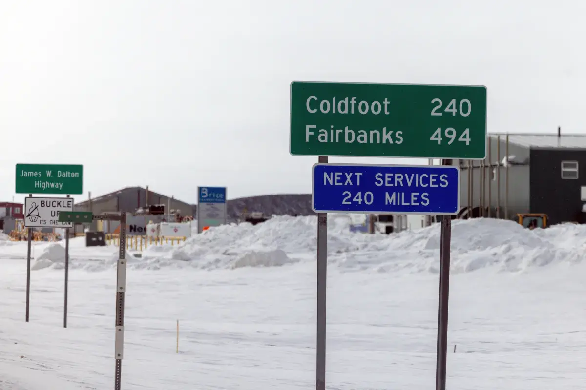
Alaska
In Alaska, the Kuskokwim Delta Coast, Nunivak Island, and the western capes might experience blowing snow throughout Sunday, which will result in up to 4 inches of accumulated snow, winds as high as 50 mph, and visibility reduced to less than half a mile.
Drivers traveling along the Klondike Highway could see up to 18 inches in high elevation areas until Sunday night, which has prompted the NWS to urge people not to travel unless it’s an emergency. The Haines highway is also likely to be treacherous, and people traveling could see up to 10 inches of snow near Haines Customs, and 3 to 7 inches near Haines until Sunday evening.
What People Are Saying
The NWS has issued the following statement about lake effect snow: “During lake effect snow, the weather can vary from bands of locally heavy snow to dry weather just a few miles away. Visibilities can also vary greatly. Be prepared for rapid changes in weather, visibility, and road conditions.”
The New York NWS said: “Submit snow and ice reports through our website or social media. Be prepared for slippery roads. Slow down and use caution while driving. If you are going outside, be careful on stairs, sidewalks, and driveways. These surfaces could be icy and slippery, increasing your risk of a fall and injury.”
What Happens Next
Residents in affected areas should take extra care when driving or walking outside, and keep an eye on local forecasts for updated weather and road conditions.