
Severe thunderstorms prompted an alert for nearly 5,000 people on Monday afternoon, with National Weather Service (NWS) meteorologists warning that any people or animals caught outdoors would be injured as the storm moves through the area.
Why It Matters
Severe thunderstorms producing 60 mph gusts can snap large tree limbs, topple whole trees and send unsecured objects airborne, creating hazards for people, vehicles and structures. The severe thunderstorm warning, issued by the NWS Rapid City office in South Dakota warned that “ping pong ball size hail and 60 mph wind gusts” could cause injury or infrastructure damage.
marcrossmann/Getty
What To Know
The severe thunderstorm warning was issued just after 2 p.m. MDT on Monday. At the time, the storm was 3 miles northwest of Nemo and 13 miles south of Sturgis, moving southeast at 15 mph.
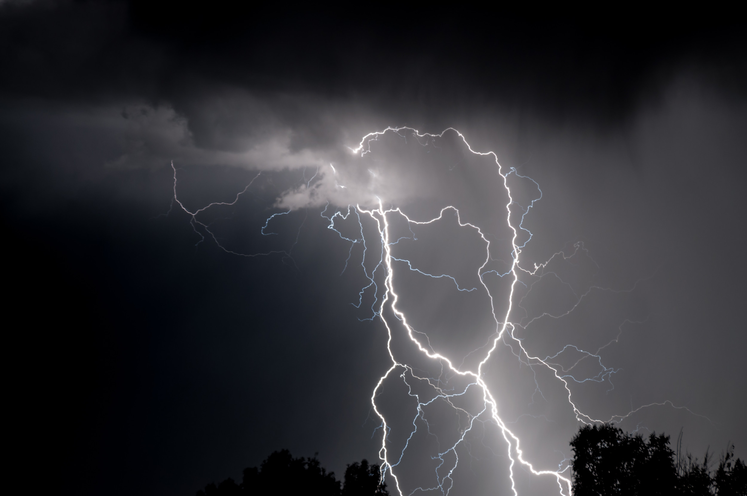
People were told to move indoors immediately, as large hail and lightning strikes could pose dangers.
“People and animals outdoors will be injured. Expect hail damage to roofs, siding, windows, and vehicles,” the alert said. “Expect wind damage to roofs, siding, and trees.”
Impacted locations included Black Hawk, Johnson Siding, Nemo, Silver City, Hisega, Pactola Reservoir, Dalton Lake, Roubaix Lake and Sheridan Lake. People in those areas were urged to “move to an interior room on the lowest floor of a building” until the storm passed.
The warning was set to remain in place until 3 p.m. MDT. However, another severe thunderstorm warning was issued as the storm continued to produce large, 3.25-inch hail after 3 p.m. local time. NWS meteorologist Scott Rudge told Newsweek that the threat for thunderstorms in South Dakota would remain throughout the evening.
NWS Rapid City meteorologists warned of the storm potential earlier on Monday.
“There is a chance for a few isolated storms today, some storms may be strong to severe,” the office posted on X. “Highs will be in the 80s to 90s. Drier Tues through Thurs with highs in the 80s to 90s Tuesday and in the 90s to low 100s for Wednesday and Thursday.”
In addition to the warning in South Dakota, similar warnings were in place in Illinois, Missouri, Louisiana and Mississippi on Monday afternoon.
What People Are Saying
NWS Rapid City, in a severe thunderstorm warning: “This storm is producing large quantities of hail. Driving through deep hail is like driving on slushy roads. Slow down and do not brake suddenly.
“If on or near Pactola Reservoir, get away from the water and move indoors or inside a vehicle. Remember, lightning can strike out to 15 miles from the parent thunderstorm. If you can hear thunder, you are close enough to be struck by lightning. Move to safe shelter now! Do not be caught on the water in a thunderstorm.”
What Happens Next
People in South Dakota were urged to monitor local weather guidance and move inside should a storm develop.