
Two southern states may experience severe storms, hail and possibly tornadoes on Sunday.
The National Weather Service (NWS) has warned of a potential severe weather outbreak across the Southern Plains, with the possibility of several tornadoes, destructive wind gusts reaching 80 to 100 mph, and giant hailstones up to 5 inches in diameter—about the size of a pineapple.
Why It Matters
Storms, particularly severe weather events like tornadoes, are relatively common on the Southern Plains during certain times of the year, especially from late spring into early summer, and they can be a threat to life, as well as inflicting major property damage.
What To Know
Residents of northern Texas, the Panhandle and southern Oklahoma can expect very poor weather conditions on Sunday.
The Storm Prediction Center has issued an alert of a moderate risk of severe thunderstorms from the Texas Panhandle to just north of greater Dallas and Fort Worth, “with damaging winds and large hail the primary threats, and some tornadoes are also a possibility.”
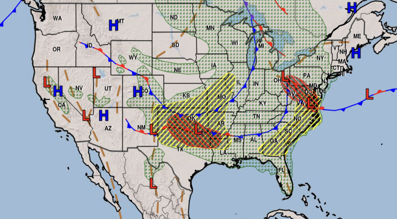
Maps show a risk of severe thunderstorms as well as heavy rain and flash flooding across portions of the Southern Plains that is expected to last into Sunday, while tapering off as Monday approaches.
National Weather Service Weather Prediction Center
Two severe thunderstorm warnings are in place in the Lone Star State. At 3:10 a.m. CDT, the NWS warned that a severe thunderstorm producing “golf ball-sized hail” and 60 mph winds was located over Wayside, around 19 miles northeast of Tulia and Lubbock.
The service warned that “minor damage to roofs, sidings, and trees is possible,” and that people and animals outdoors could be injured.
“Expect hail damage to roofs, sidings, windows, and vehicles,” the warning reads. “For your protection move to an interior room on the lowest floor of a building.”
A similar warning for Tulia, Silverton, Happy, Vigo Park, and Mackenzie Reservoir, is also in place, with 70 mph winds and large hailstones.
“Expect considerable tree damage,” the NWS said. “Wind damage is also likely to mobile homes, roofs, and outbuildings.”
In Oklahoma, flood warnings are in place in the following counties:
- Le Flore
- Adair
- Delaware
- Cherokee
- Washington
- Rogers
- Tulsa
- Ottawa
- Major
- Woods
- Woodward
- Grant
- Noble
- Atoka
- Payne
- Okmulgee
The NWS in Norman has said there could be “very large hail up to the size of baseballs” as well as “damaging winds in excess of 80 mph and tornadoes.”
Tomorrow’s severe weather risk remains intact with the potential for very large hail up to the size of baseballs, damaging winds in excess of 80 mph and tornadoes. Stay weather aware and have a severe weather safety plan in place! #okwx #txwx pic.twitter.com/9r4qeRsxaT
— NWS Norman (@NWSNorman) June 8, 2025
What People Are Saying
WFAA-TV meteorologist Pete Delkus said on X, formerly Twitter: “Let’s stay weather aware Sunday evening. A very strong complex of storms will race out of Oklahoma and the TX Panhandle and bring damaging wind potential to NTX [northern Texas]. That’s the main risk with Sunday evening’s activity.”
What Happens Next
The risk of further storms is expected to be lower throughout Monday and into the new week, although rain is still expected across northern Texas and much of Oklahoma.